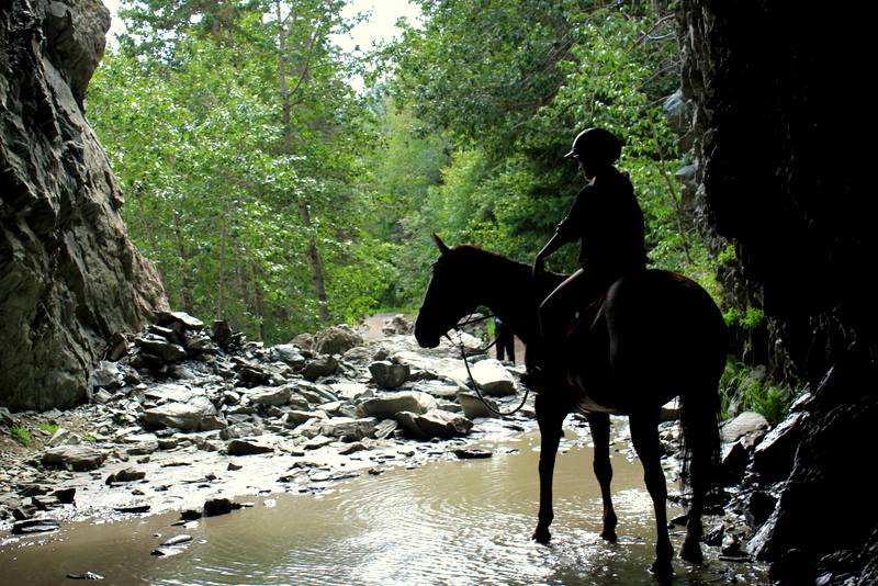
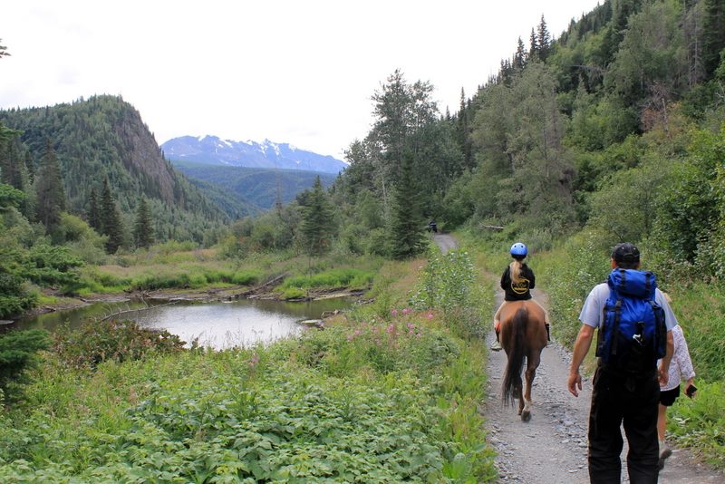
The best and worst thing about the Copper River Valley is its remoteness. This brings a quiet yet powerful connection to the natural land, but also makes the valley’s interior difficult to access. To help you navigate this beautiful piece of country, we’ve compiled a list of hikes all within two hours of Glennallen. We will continue to update this list as we hike more trails, gather details and capture photos!
When planning an excursion on any of these trails, know that conditions will vary and knowledge of weather plus route finding skills are especially valuable when hiking anywhere in Alaska.
Along the Glenn Highway (Hwy 1)
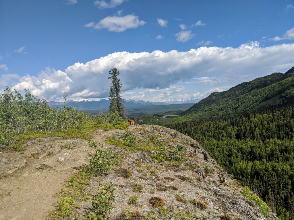
Gunsight Mountain
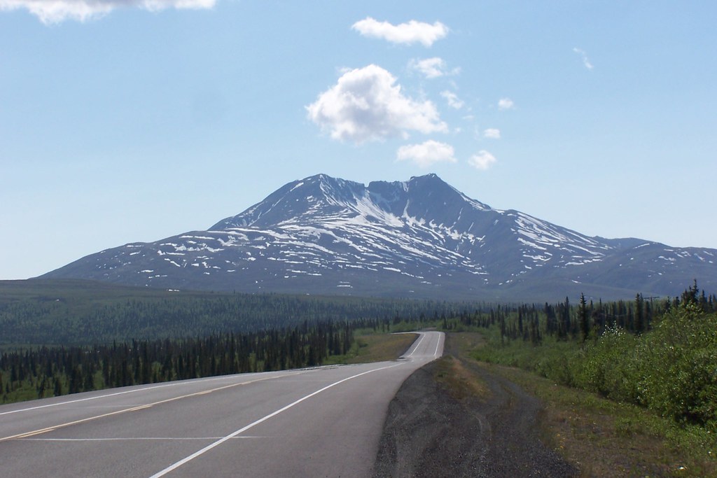
Head towards Anchorage from Glennallen for 60 miles. You will reach Eureka Roadhouse (which is worth a stop and trip inside for a snack and bathroom break!) and from the parking lot Gunsight will be clearly visible down the highway. The mountain received it’s name because the middle notch looks like gun stand.
Continue past Eureka for a few miles until you near the base of the mountain. There are several parking pullouts on both sides you can use, but first look for the lot with the Alascom Tower (on the right.)
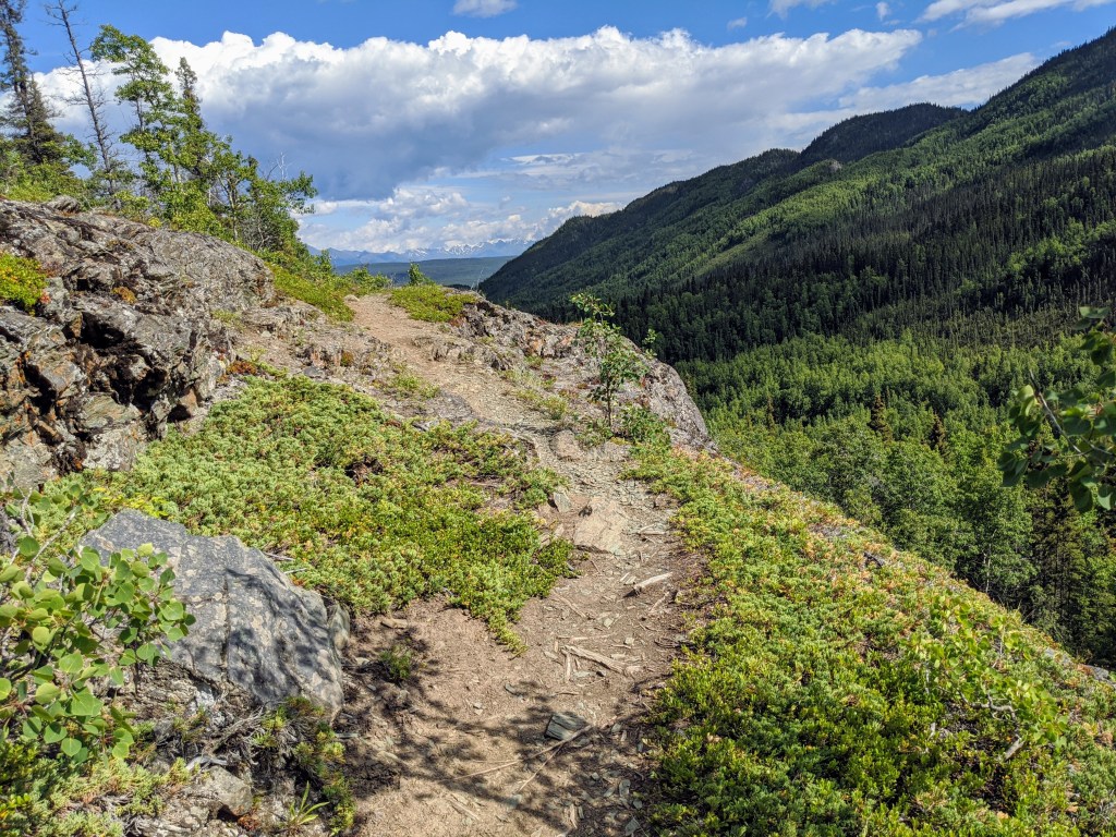
The Gunsight Mountain hike is more of a “route finding activity” than a well defined trail. There are a mix of animal routes and ATV trails at the base, and it’s really up to the hiker to choose their preferred plan. This isn’t too difficult because the destination is easily within view the entire climb.
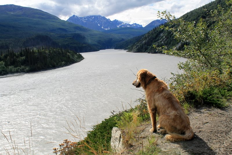
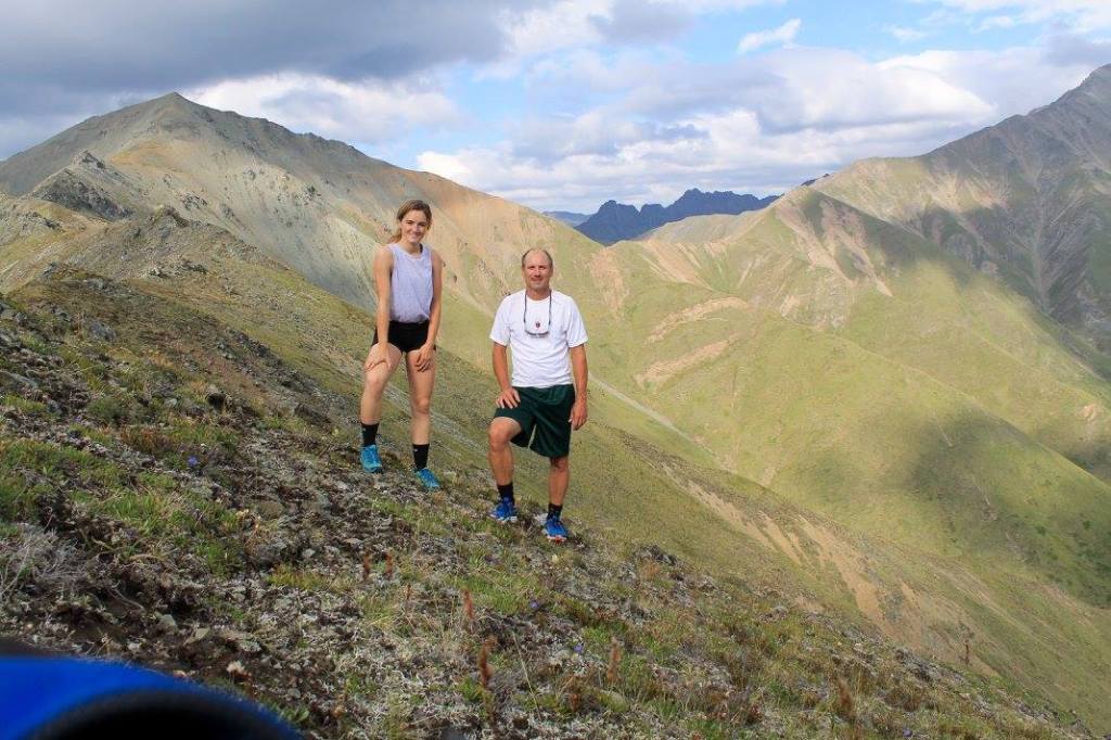
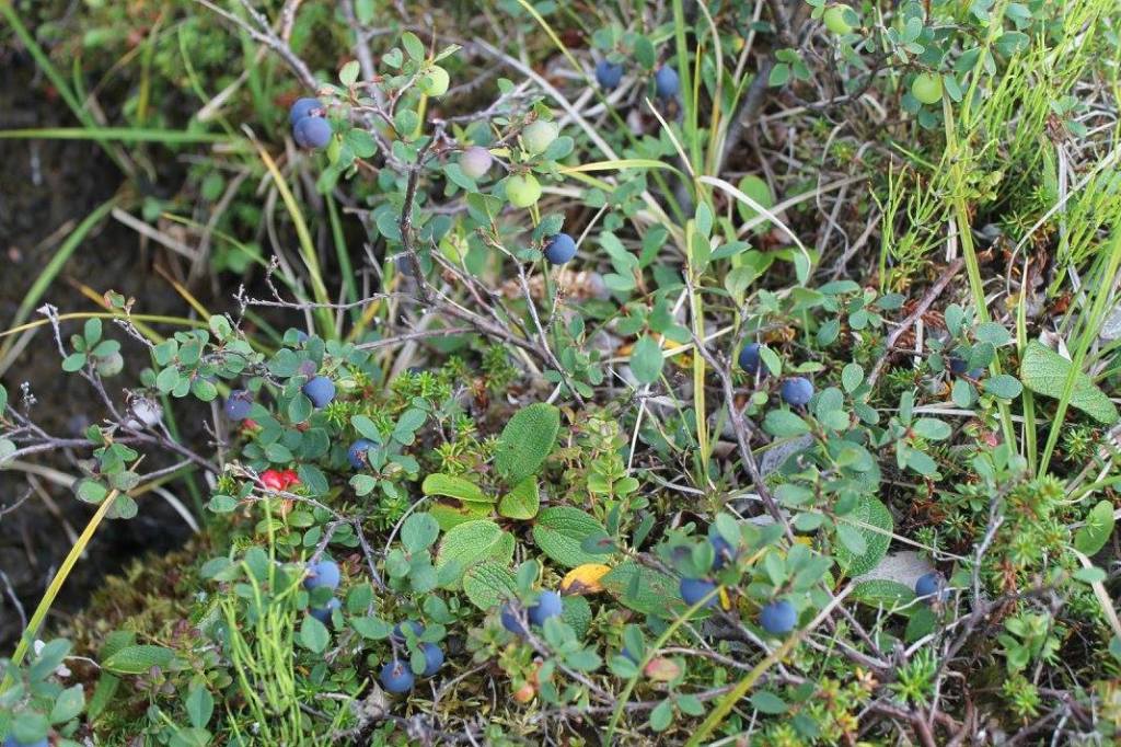
The entire 7 mile round trip hike is one way up, one way down, with 3,500 feet elevation gained. This is not an easy hike, but is also best enjoyed slowly so feel free to take breaks and enjoy the sweeping views! This hike is well known among Alaskans, and especially Copper Valley residents. Plan to bring food, water, layers, sun screen, bug dope, bear spray, and know there is no cell service. Blueberries are plentiful on the hike in August. Dogs and friends welcome!
Your goal is to reach the notch at the top. Good luck!
Caribou Creek Trail
Though more commonly referred to as the Tok Cutoff, the highway connecting Canada and Tok to the Richardson, is an extension of the Glenn Highway. To reach this trailhead, leave Glennallen and head towards Fairbanks. After passing the Gulkana River, you’ll soon reach the Tok Cutoff Junction. Turn right towards Tok and drive 60 miles. Turn right onto the Nabesna Road, and go 0.5 miles to the Slana Ranger Station. We recommend checking in here before heading out (learn more here.)
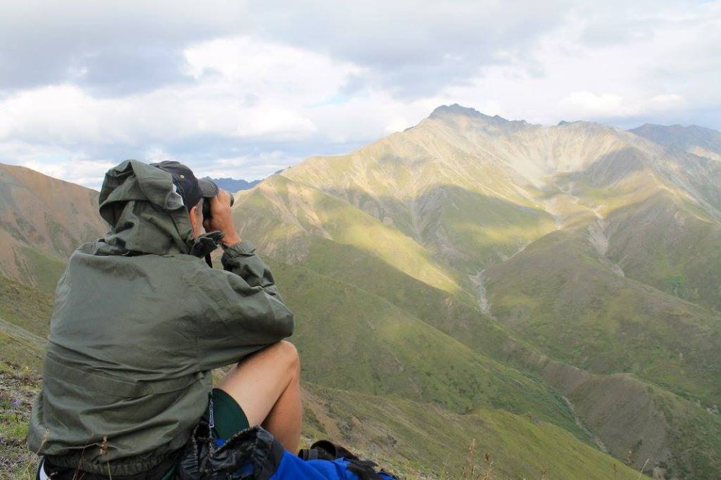
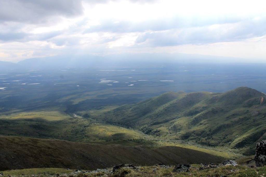
Parking for this hike is located at mile 18.9 on the Nabesna Road, and the trail begins at mile 19.2. The route is 3 miles one way, and leads to a public use cabin that can be reserved overnight from the park service. As the cabin is nestled at the base of the mountains, brave hikers can continue up and wander around the ridge lines nearby.
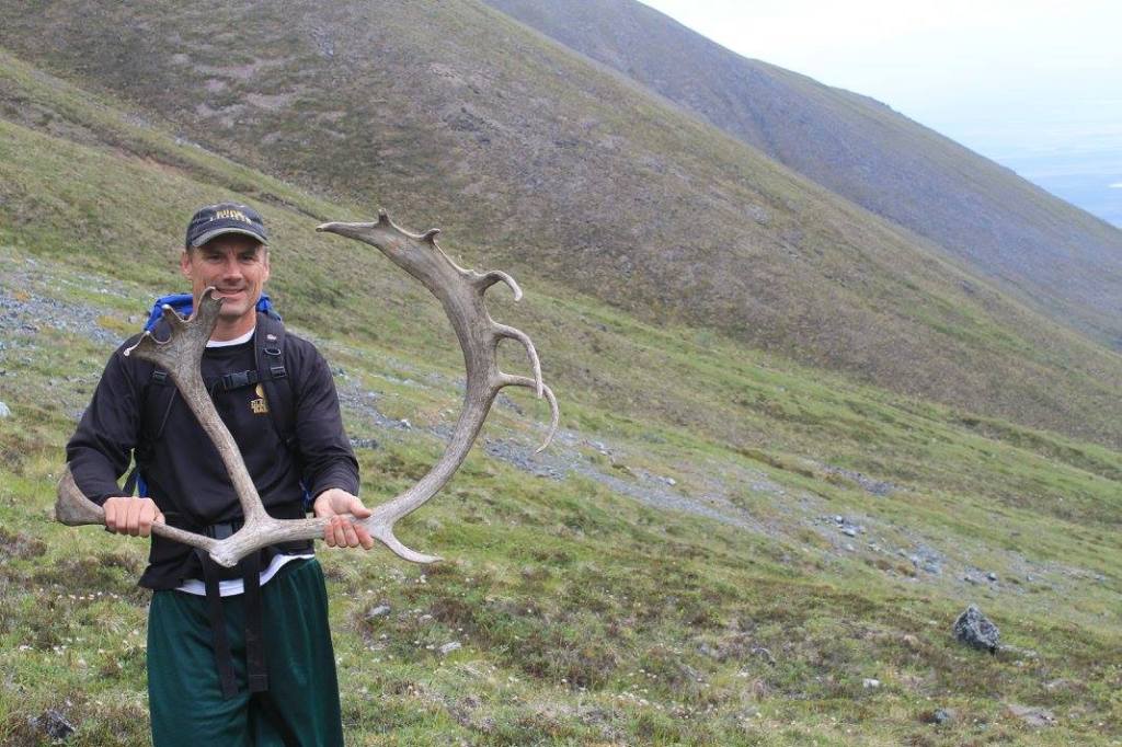
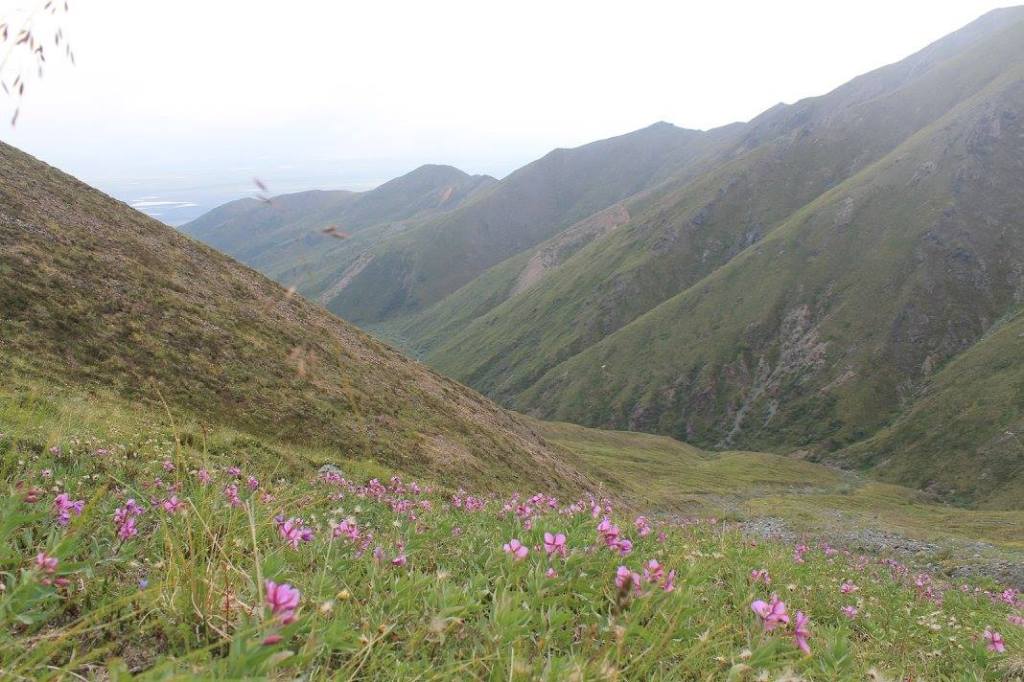
Several years ago we did this hike on August 1 and enjoyed warm weather, colorful wildflowers, start of the season blueberries, plus found several caribou antler sheds along their migration route. This is a difficult hike the further you go, and be prepared for cooler temps as you ascend the mountain (shouldn’t be too different at the cabin, but will get windy as you move up the hillsides.)
Down the Edgerton Highway (Hwy 10)
Liberty Falls Trail

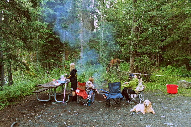
Liberty Falls State Recreation Campgrounds is an excellent place for your next camping trip. Located about 10 miles before Chitina, the campground driveway will be on your right if coming from Kenny Lake. See details from the National Park Service.
This hike leads to a small lake, and gives views of the mountains and valley nearby. It does not take you directly to the falls, however you can address them from the campgrounds.
Once settled into your campsite, walk back out to the highway, turn left, and follow the first driveway you reach on the left. Here is the trailhead for Liberty Falls. The trail goes about 1.7 miles, and the lake at the turn around point is a good spot for dogs to get some water before heading back (no other water along trail otherwise, as you hike up and along a ridge.)
This hike is shorter but beautiful, quiet, and relaxing. The terrain is not terribly difficult, but the footing is a little more technical so hiking boots would be recommended over tennis shoes. Note that you can’t drink the half way pond water directly, so bring plenty of water or a filter along. Cell service is very unreliable along this hike.
O’Brien to Haley Creek Trail
Parking location – As you drive through Chitina, the road curves to the left, with a lake on your right. Take this exit and follow signs for O’Brien Creek. Go about 2.5 miles. You’ll eventually crest a hill, and the road will curve sharply to the right and down the hill. Be careful at this junction, as you will not have good visibility of vehicles coming up the hill. The hill down is quite steep and not well maintained, so unless you have a large truck or car with plenty of clearance, I’d suggest you leave your vehicle at the top of this hill.
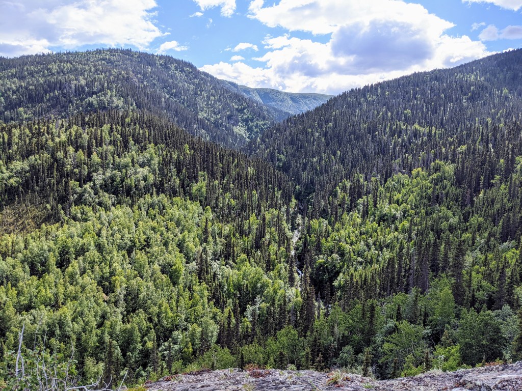
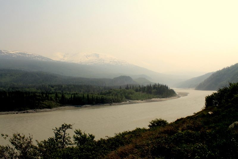
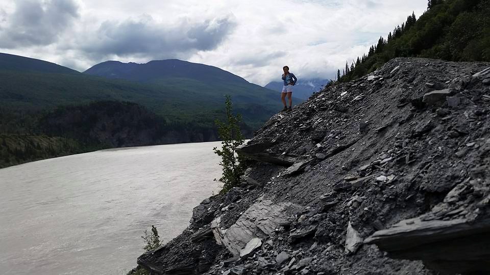
Drive or walk to the bottom of the hill, and follow the trail (which goes along the old highway) directly across the parking lot and up the hill. The hike is about 10 miles round trip, but there is plenty to look at and a nice location to take a break and have lunch (at the very end of the trail on the sand bar by the river) before turning back. I’d set a full day aside for this trip. There are remnants of the copper railroad all around, as well as evidence of the fishing subsistence lifestyle residents lead.
The trail is mostly level, but not necessarily flat. You don’t need to be an experienced hiker, but you do need to be in good enough shape to hike 10 miles and be on your feet 8-10 hours. There are minimal water crossings and none are too high, so tennis shoes or hiking boots will suffice. Bring a backpack with food, extra water, bug dope, sunscreen, a first aid kit, and bear spray or a pistol (this is bear country.) Layers are always a good idea no matter the weather, and know that cell service will be minimal. See the trail map and additional details from the National Park Service.
Happy Trails!

Leave a comment