
As you get closer to the end of the pavement, somehow the air begins to transport you back in time. Every 30 minutes you notice your surroundings growing more rugged and rural, toughened by the distance from supply centers and frigid winters.
Entering Chitina, you’ll notice several buildings with ghosts painted on their sides. Both a friendly reminder of the flourishing town that once was, and a slightly eerie foreshadow to the history you’ll experience during your visit. There are few services here at the end of the pavement, but the banks of the nearby Copper River will be crowded for weeks during salmon fishing season in July. Nets, fishwheels and fishing lines run 24/7 to prepare for the coming winter.
The road through Chitina ends as quickly as it begins. Once you’ve dropped down the slight hill and rounded the left turn with the wayside rest stop on the left and the lake on your right, you come face to face with a tiny light through a dark hill side.

A one lane dirt road leads you through a blasted path in the rock, and onto the McCarthy Road. You’ll see paved road on the other side as you cross the bridge over the Copper River, and a large sign, slightly distracted by crowds of adorning stickers, warning of the travel environment you’re about to enter.
While you should be aware and prepared, the next 60 miles are not impossible, and are well worth the journey.

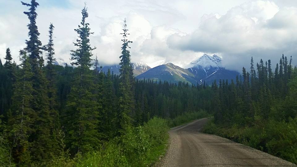
Over the next 60 miles, expect to travel on average 30 mph, and go slower than you think you need.
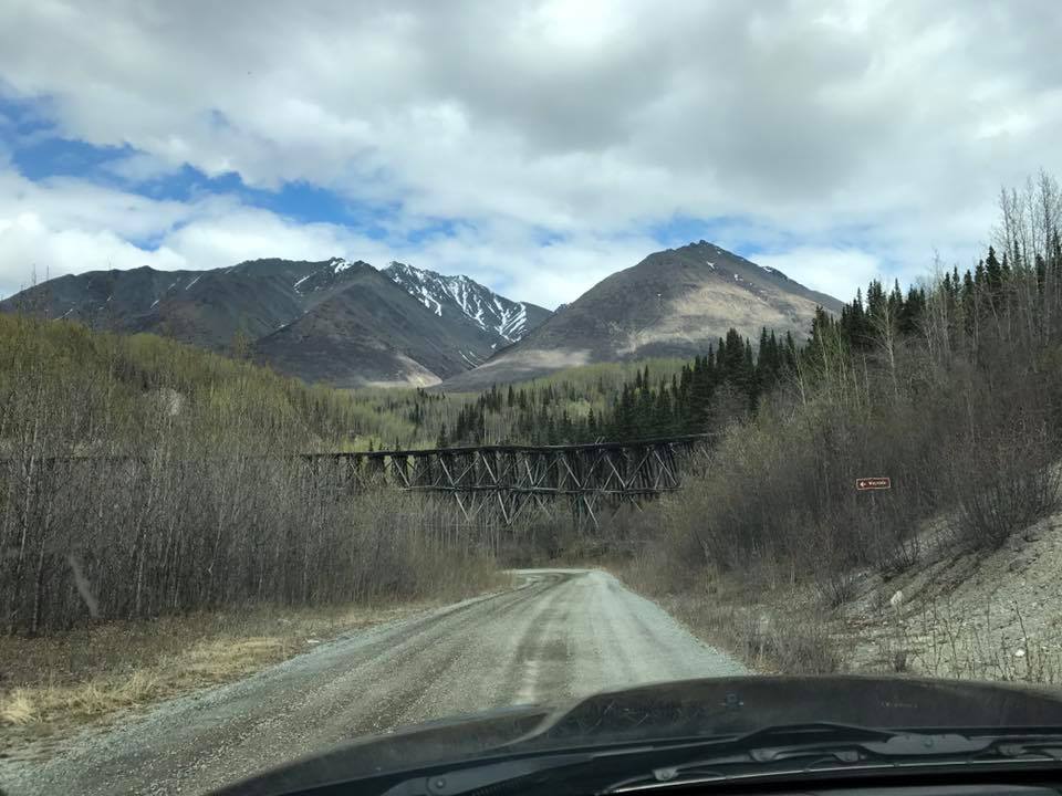
There are reminders all around of the railroad life the road once lived, including occasional railroad ties embedded into the dirt, which can quickly pop an unsuspecting tire.
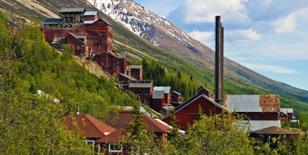
The journey is mesmerizing. You’ll see several incredible feats of architecture and engineering in the still standing remnants of the Kennecott Railroad, made more incredible when you consider the conditions, weather, and tools available they were constructed with.
Photographed: Kuskulana Bridge, with a rest stop at the bottom of the hill.
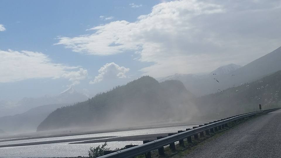
The drive is beautiful, but slow and steady. Expect two hours drive time and at least another hour to stop and explore the areas around each of the three rest stops along the route. Eventually you will drop down a hill and reach the Kennecott River where your drive ends.
From this point you have several options to reach McCarthy (0.5 miles) or Kennecott (5 miles):
- Camp and enjoy your destination without going further.
- Park, walk across the footbridge (not wide enough for any motor vehicles to cross) and meet the shuttle into town on the other side.
- Walk or pedal bike into town.
Be sure to give yourself several days to visit this historic landmark. The saloon and restaurants should all be visited, the mine should be toured with a guide, and the glaciers and hiking trails nearby should be explored. Enjoy time with the locals, and try to image the rush of activity once well known during the peak of copper mining in Alaska.
Though slightly primitive and rough in what’s available once you’ve reached McCarthy, the area has a special way of capturing the hearts of all who visit. People change after seeing the glaciers and striking red buildings. It makes you appreciate what’s taken place in this wild land, and those who choose to make it their home today.
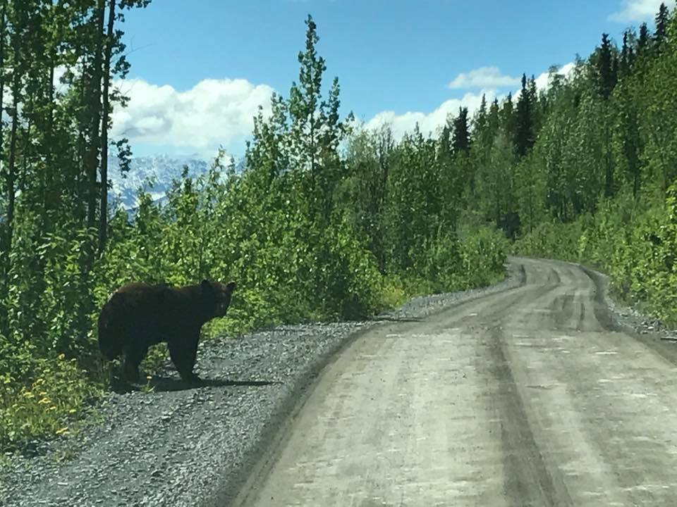
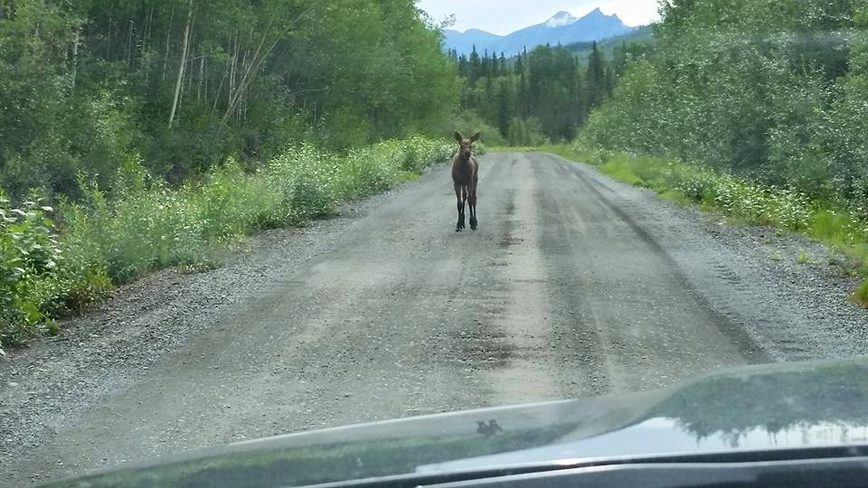
Remember to be kind to the land, clean up after yourself, understand your route, and let someone know your travel plans. Cell phone coverage is scarce after passing through Kenny Lake.
Important notes for your trip:
- Be sure to gas up in Glennallen, or Kenny Lake as your last resort. There are no gas stations from Kenny Lake to McCarthy.
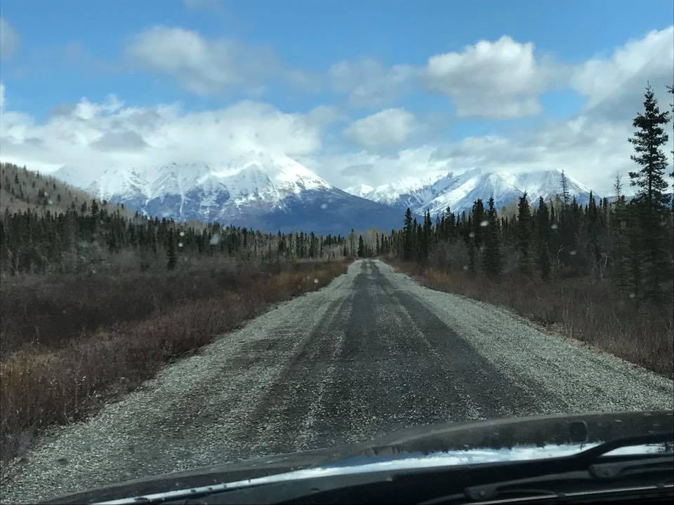
- The pavement ends at Chitina, and the rest of the journey is on gravel road, graded every week or two by the state. Most rental car companies specifically note their vehicles may not drive this road.
- There are four wayside rest stops along the road, the first in Chitina where the road snakes around the bottom of the hill next to the lake. The other three are spaced about 20 miles apart, and are maintained by the park service. Bring hand sanitizer, and be aware you will not see a lot of running water facilities during your trip.
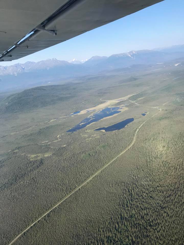
Photographed: The McCarthy Road from the air.
View this detailed guide to the McCarthy Highway, by Wrangell St. Elias National Park.
Distances
- Glennallen to Kenny Lake – 41 miles
- Kenny Lake to Chitina – 26 miles
- Chitina to McCarthy – 60 miles
- Total miles one way =127
- Total time one way = 4 hours

Leave a comment